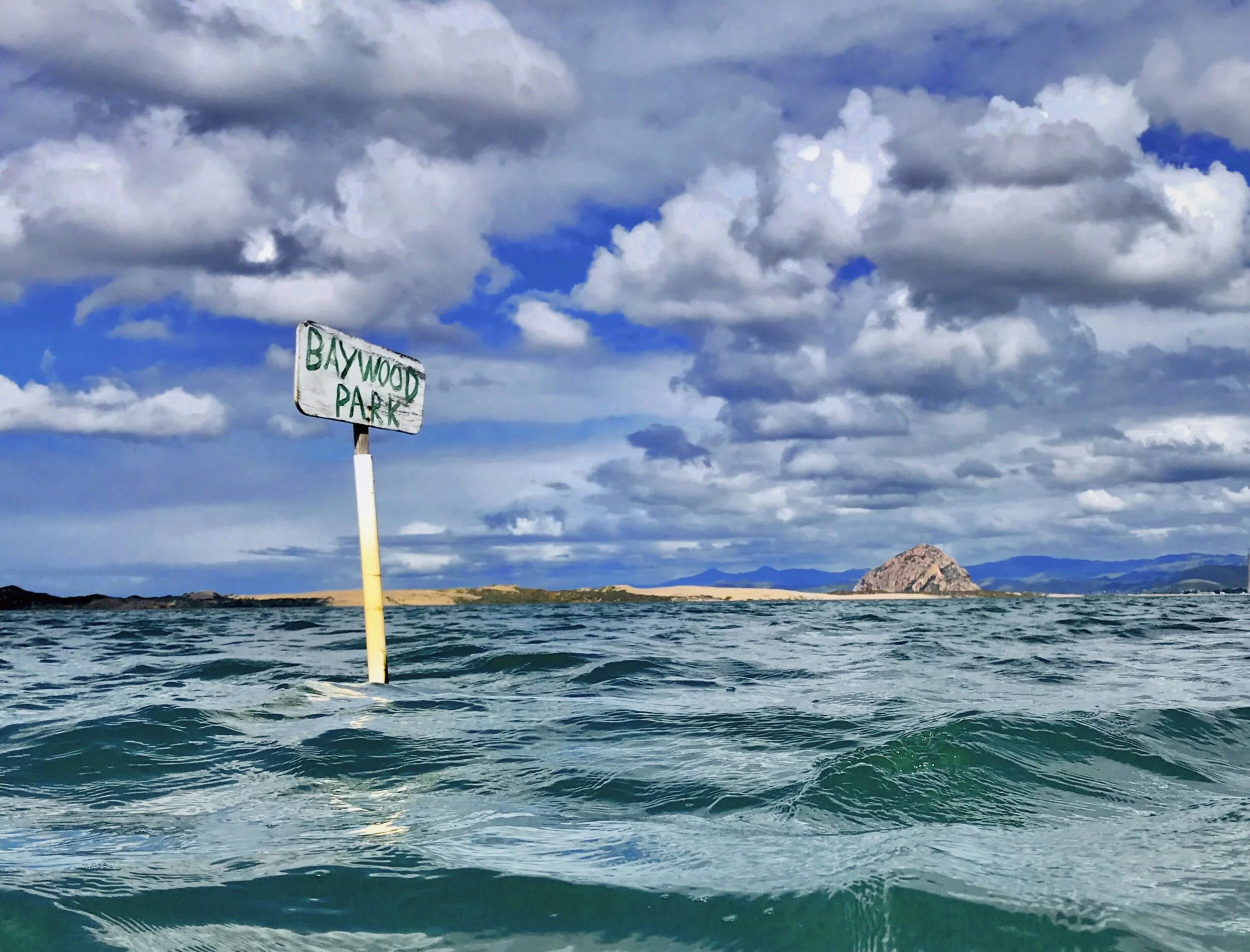
Baywood Tide Planner:
A guide to safe boating on the back bay of Morro Bay and not getting stuck in the mud.


Note / Disclaimer: Although this is super handy, the information provided herein makes no warranty for the accuracy, and using this information for any navigation purposes is solely at your own risk.
Local Information for Baywood boating:
A 45-minute delay on tide times. Since it takes 45 minutes for the water to get from the harbor entrance, you need to add the time to the tide times listed. For example: If the high tide is listed at 1:00, Baywood's high tide would be at 1:45.
3 feet: It is advised to only be on the water at tide heights of 3 feet or more.
WARNING: The Back Bay of Morro Bay has significant tidal fluctuations, and most of the bay is nothing but mud at 2.0' MLLW. Getting stuck in the mud is a once-in-a-lifetime miserable experience. However - proper planning may result in incredibly epic good times and wonderment!
Tide Calendar
This shows the times each day where there is enough water for small boats in the back bay (kayak, canoe, SUP, etc.)
If you use Google Calendar, hit the “+” button at the bottom of the page to subscribe to this calendar!
BAYWOOD CAM
Current conditions in Baywood, courtesy of the Back Bay Inn and Visit Los Osos / Baywood Park.
Weather Forecast
Weather data supplied by NOAA. Please note that the tides listed on the tides tab are based on Port San Luis tide station, and are approximately 45 minutes earlier than Baywood.
Local nautical chart
Click on the chart image for NOAA online chart viewer and more detail…

Got a question? Want to talk life insurance or retirement strategies on the water?
Drop a line here and Paul will be in touch soon! Getting out on the bay is a great alternative to an office meeting.